 11
11
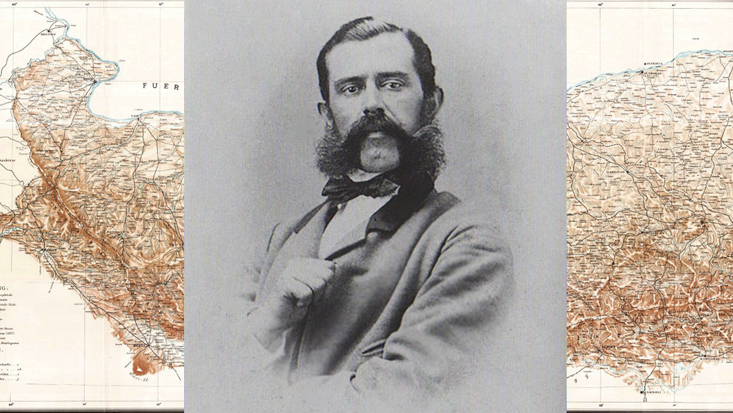
There is a map which helped usher in the birth of modern Bulgaria during the Russo-Turkish War of 1877-1878. The Austro-Hungarian researcher Felix Kanitz (1829 – 1904) was the first West European to have travelled to more than 3,200 towns and villages in Bulgaria. Following in the pathways and byways travelled by Kanitz for his research came the liberation of Bulgaria. We talk to Nikolai Dunev, founder of the website Active Historical Map about “the Balkan traveller”, as prominent expert in Slavonic studies and ethnographer Prof. Stoyan Romanski calls Kanitz.
“His map is truly unique. It is the first detailed map of part of the Bulgarian lands, and is the result of long years of work,” the young researcher says. “There have been other West European and Russian researchers who have travelled the Bulgarian lands, but they spent much less time here and the study of what they saw was far less comprehensive. Whereas Felix Kanitz dedicated 18 years of his life travelling around the Bulgarian regions of Moesia, Dobrudja and the Balkan Range. It is a perfect map for its time, correcting many errors from previous maps, but also discovering new things, such as the course of rivers. He ascertained that the only river crossing the Balkan Mountain was the Iskar. He corrected its course due North because many other maps had been showing it as flowing East-Northeast. He divided the Balkan mountain into three parts – Western, Central and Eastern. He measured mountain heights using a barometer, but most importantly, he traced the mountain passes,” Nikolai Dunev says.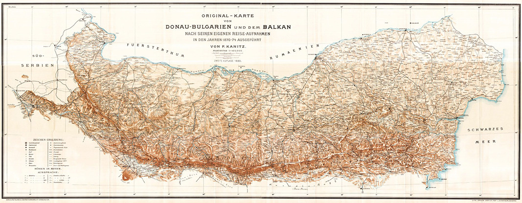
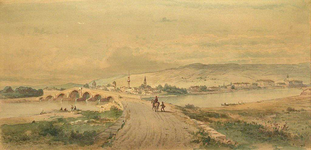
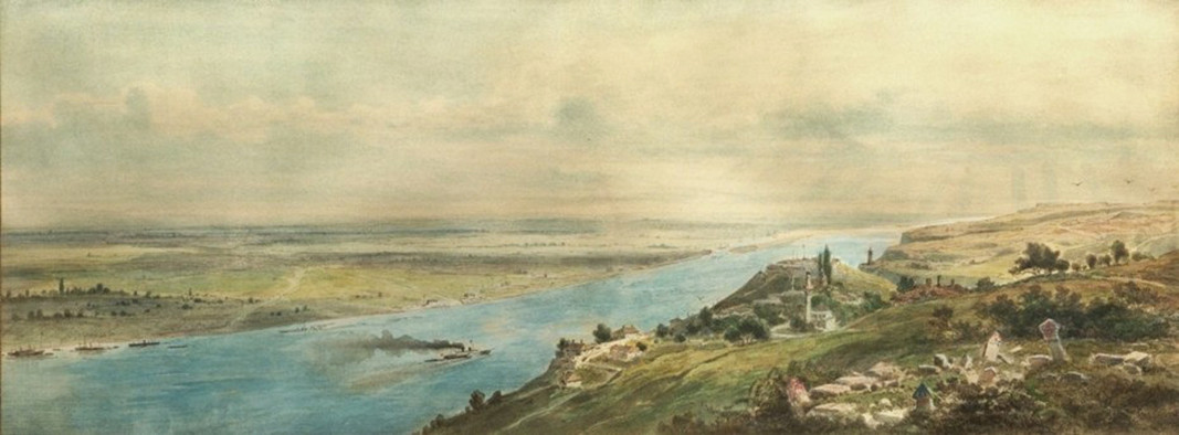
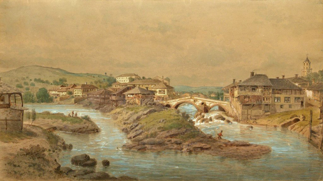
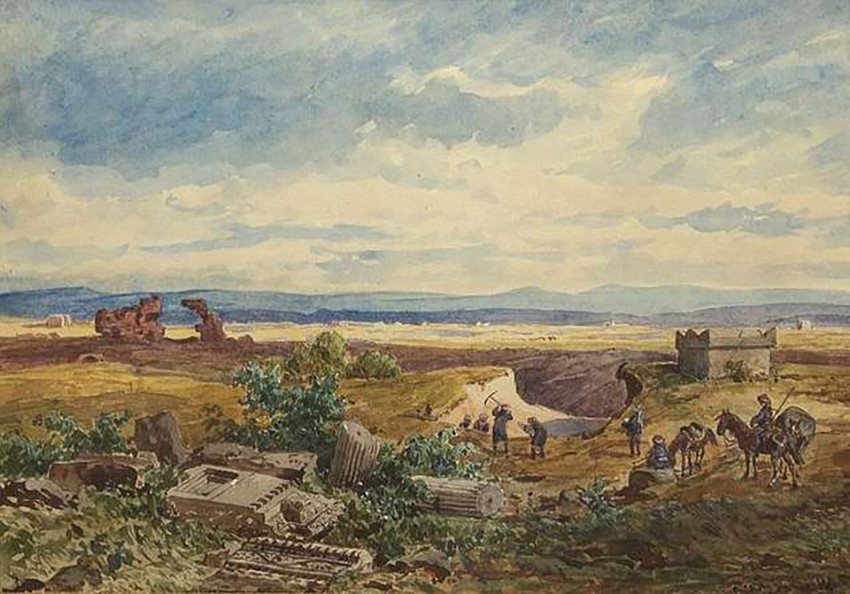
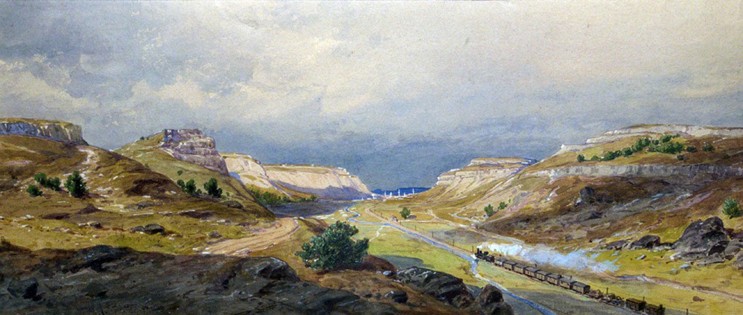
There are 3,200 towns and villages plotted on the map – in Northern Bulgaria, Nis, Pirot, the Sub-Balkan valleys, and part of the Southern portion of the Black Sea coastline up to Nessebar. The various stages of the Russo-Turkish War (1877-1878) – the successful crossing of the Danube at Svishtov (the first liberated Bulgarian town), the blocking of the Ottoman garrisons in Dobrudja, the siege of Pleven (an arena of fierce fighting) and the winter passage across the Balkan Range by the Russian imperial army were all planned using Felix Kanitz’s map. The Russian military headquarters were incredibly lucky to have received this map on the eve of the war that was to liberate Bulgaria.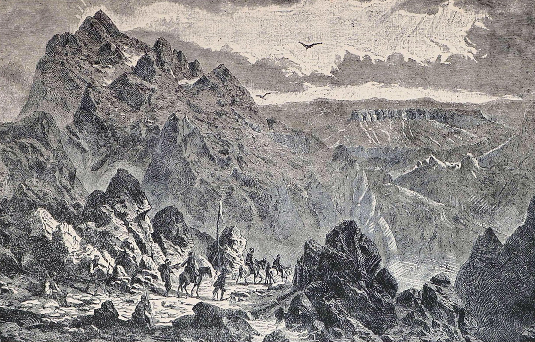
“In the 19th century cartography made considerable advances,” Nikolai Dunev explains. “Maps from the beginning and the end of the 19th century differed enormously. Such maps were constantly being drawn up during previous wars like the Crimean War (1853-56), and from 1828-1829 but they were mostly of the Eastern portion of the Balkan Range. Which route the troops – both Turkish and Russian - should follow, which pass they should use was very important. Several months before the start of the war, the Russians found out about Felix Kanitz’s map. The first version of the map is from 1877, and the Russians immediately bought about 1,000 copies from Felix Kanitz. Interestingly, the map for military use was more detailed. The scale of the map is 1:300000, whereas the map included in the third volume of Kanitz’s book is 1:420000. It was a really good map in its day and it was used in planning the military operations.”
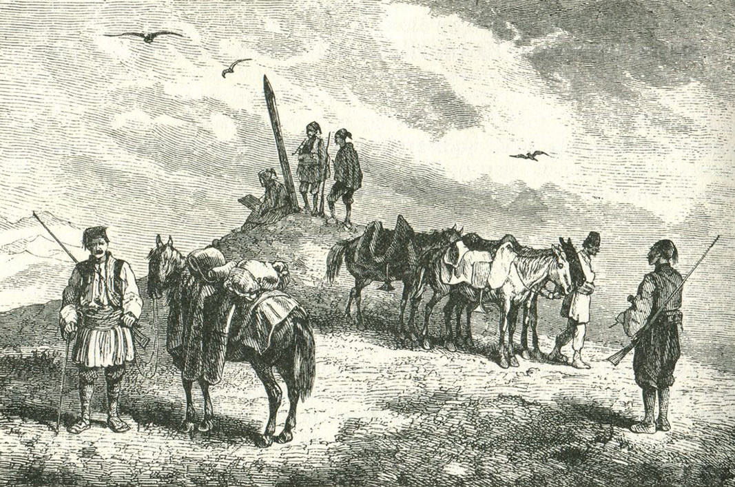
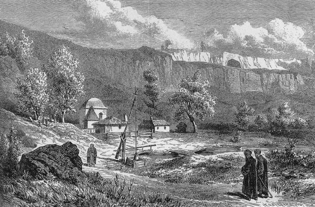
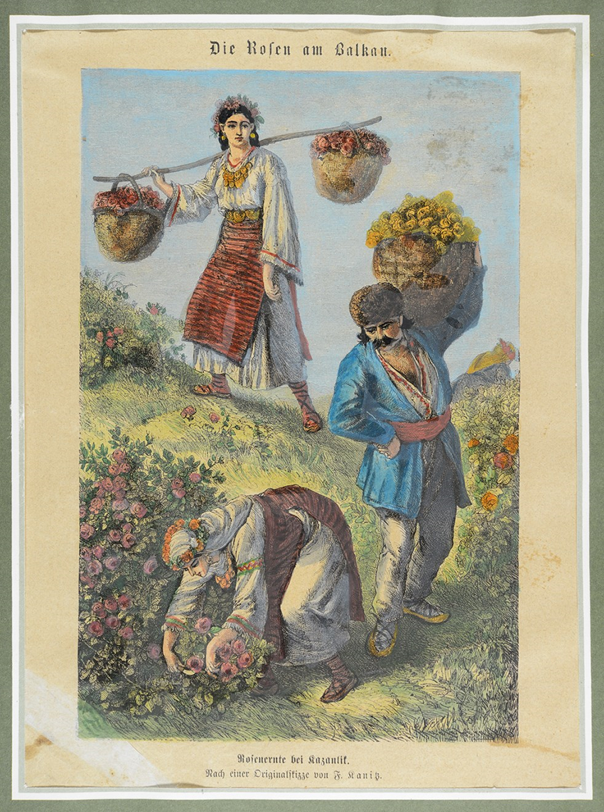
The density of the geographic, ethnographic, archaeological and political information collected by Kanitz was the result of detailed field work. He loved to put up at random places and talk to people of every ethnic group and every walk of life. Being gifted at drawing and a talented illustrator, he left behind an extensive and invaluable archive of sketches, prints and water colours from the Bulgarian lands in the 19th century. His three-volume “Danube Bulgaria and the Balkans – historical, geographic and ethnographic travel studies” provides valuable information about the past of Bulgaria. 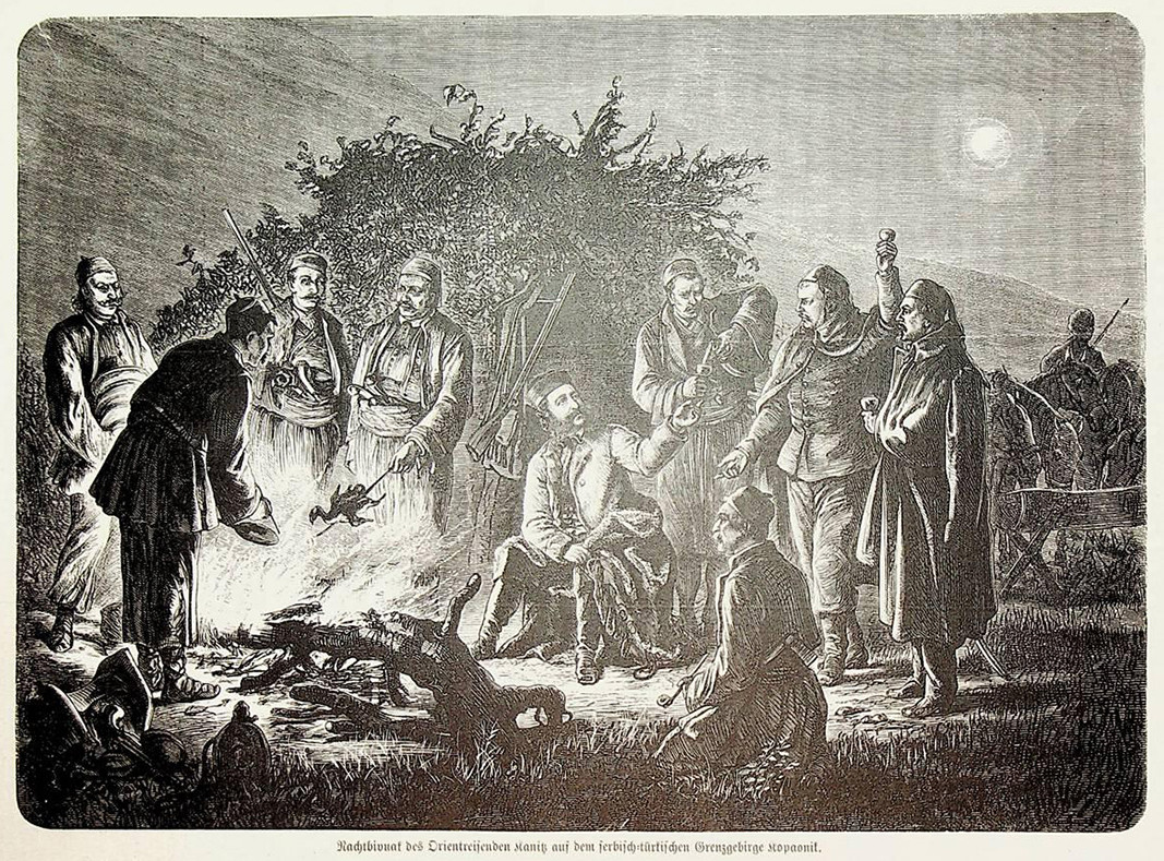
Felix Kanitz was an ardent advocate of the Bulgarian cause after the 1876 April uprising. In 1884 his work for the benefit of the Bulgarian people and sciencewas rewarded, and he was elected honorary member of the Bulgarian Learned Society (the Bulgarian Academy of Sciences of today).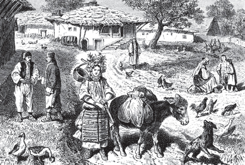
In connection with the national day of Bulgaria, 3 March, we ask Nikolai Dunev whether the war of liberation would have unfolded the way it did without the use of Felix Kanitz’s map – for which he received an order of the Russian Emperor Alexander II.
“That is a difficult question, there are no “ifs” in history,” Nikolai Dunev says. “But it certainly helped reduce the loss of life.”
More:
Translated and posted by Milena Daynova
Photos: Ivo Ivanov, Bulgarian Academy of Sciences scientific archives


Patriarch Daniil celebrated a divine service for the so-called Second Resurrection of Christ in the Sofia-based church of Saint Nedelya. Patriarch Daniil greets Bulgarians with “Christ is Risen” At the festive liturgy, texts from the Gospel..
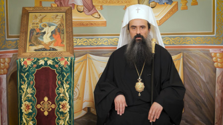
Patriarch Danil of Bulgaria, Metropolitan of Sofia, greeted the faithful with the joyful words "Christ is risen!" In his Easter message, he called on Orthodox Christians to share the extraordinary joy of heaven with the world through a life of light and..
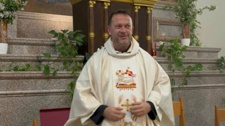
On 20 April, all Christians will celebrate the Resurrection of Christ. Against the backdrop of our divided and troubled world, Catholics, together with Orthodox Christians, Armenians and Protestants, will send a message of hope and share the joy of the..


Elena is the wife of Father Ivan Karageorgiev, a Bulgarian Orthodox priest based in Paris. She has lived in the French capital since 2010. Elena grew..